Spring Time in Saline Valley, April 2010
|
I spent five days camping in the Saline Valley in April 2010. Lows were in the 40s, the highs were in the eighties. The sky was mostly cloudless. The wind was fairly calm until the last two nights.
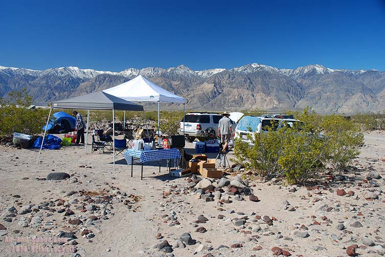
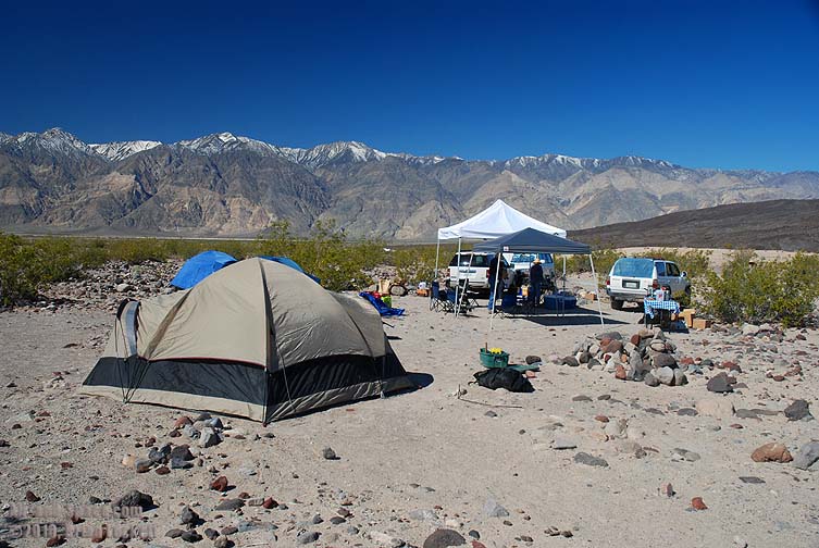
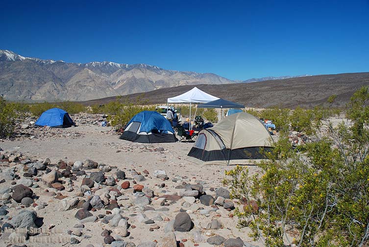
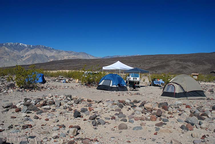
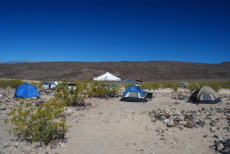
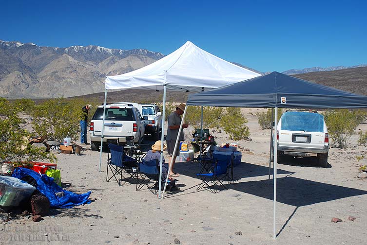
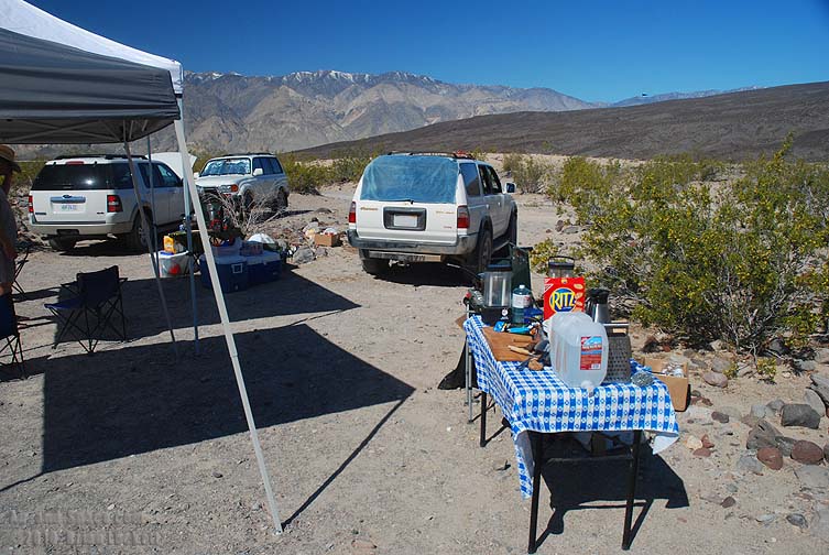
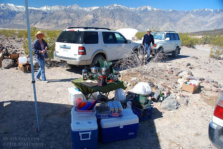
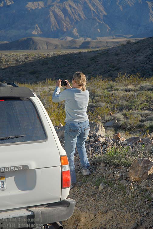
I arrived a day after the other campers and set up my tent, canopy, and kitchen.
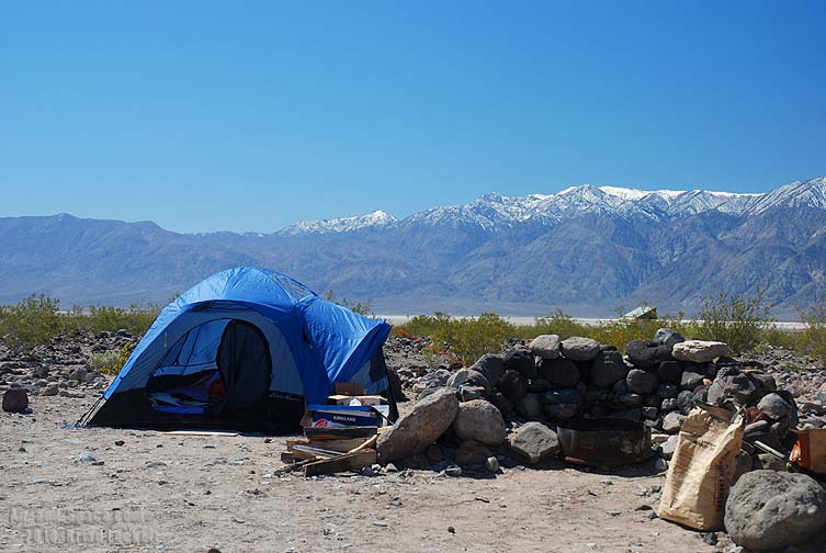
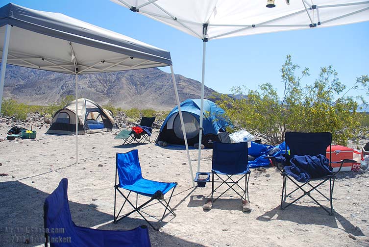
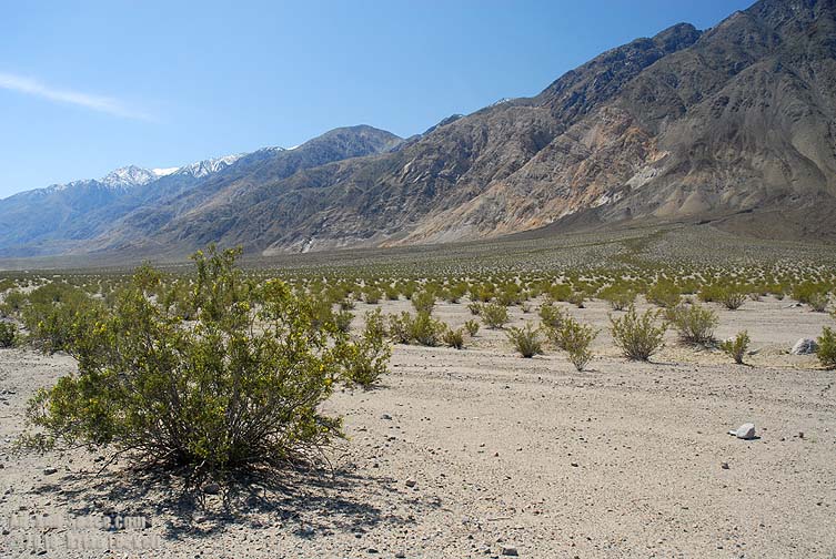
 The camp is at an elevation of 1,490 feet.
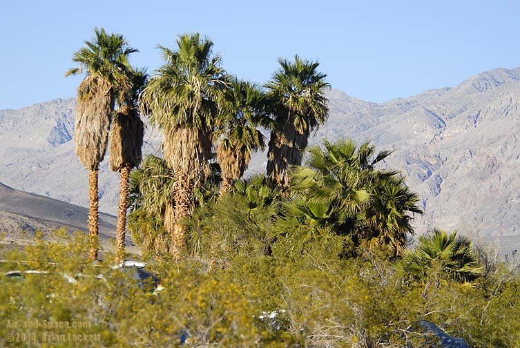
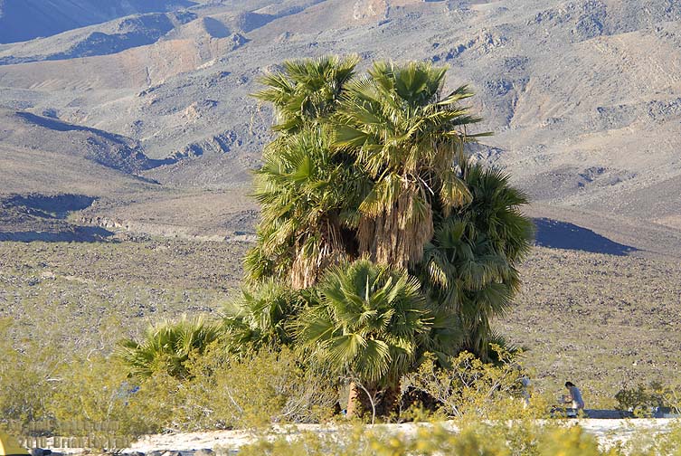
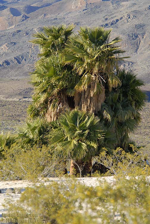
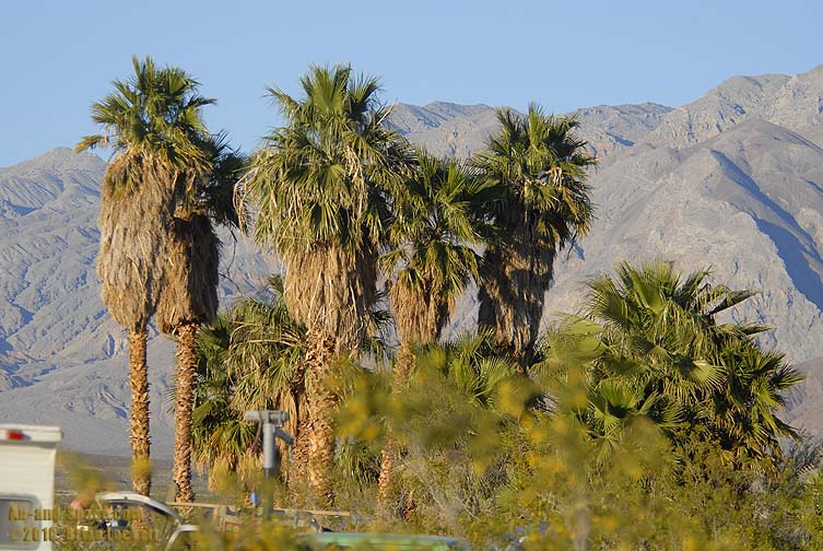 Non-native palms have been planted at Palm Spring. The oldest palms are a bit over 25 years old.
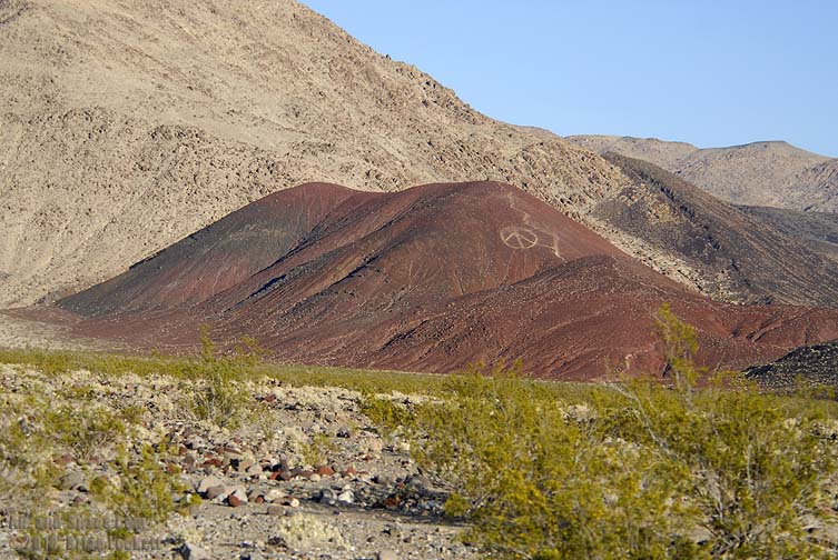
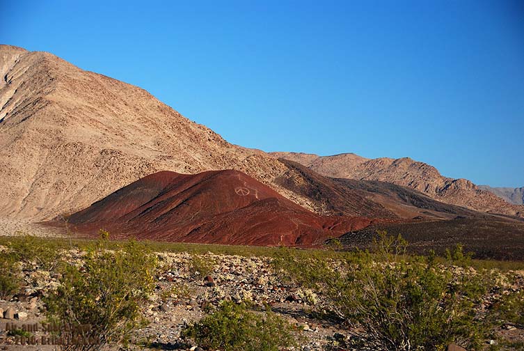
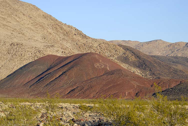 A nearby volcanic cinder cone has been marked with a peace sign for over a quarter of a century.
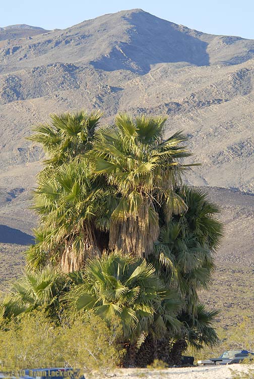
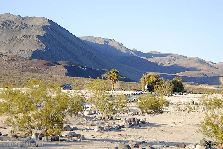 The palms that the spring was named for are the ones on the right.
 The most prominent peaks of the Inyo Range are New York Butte (10,686 feet), Mount Inyo (10,975 feet), and Keynot Peak (11,106 feet).
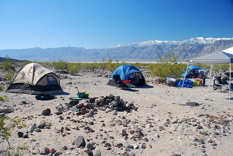
 A large rock wind break has been built on the side of the fire pit facing the prevailing wind.
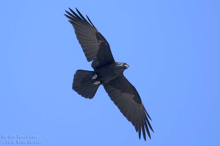 Ravens are the most common flyers in the area.
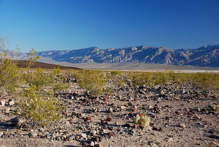
 The cinder cone is a relatively young geologic feature of the area.
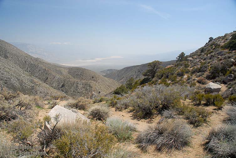
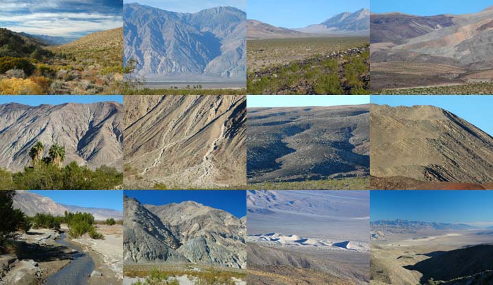
 Looking up the Eureka-Sailne Corridor toward Steele Pass.
 A volcanic basalt lavea flow was extruded from the Saline Range.
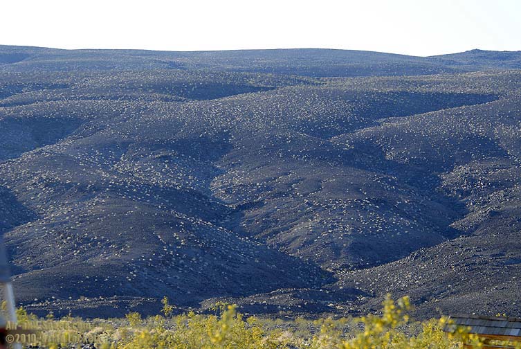
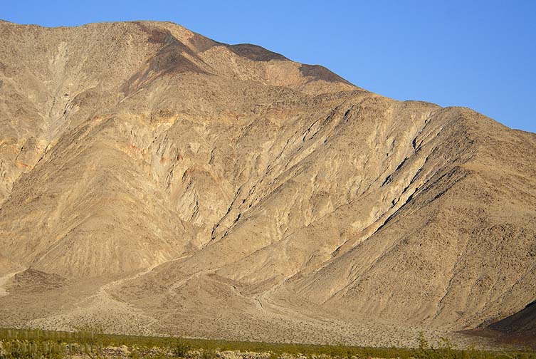
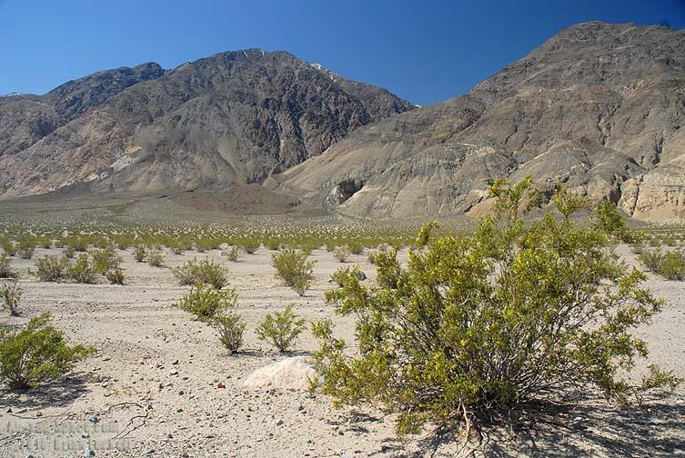
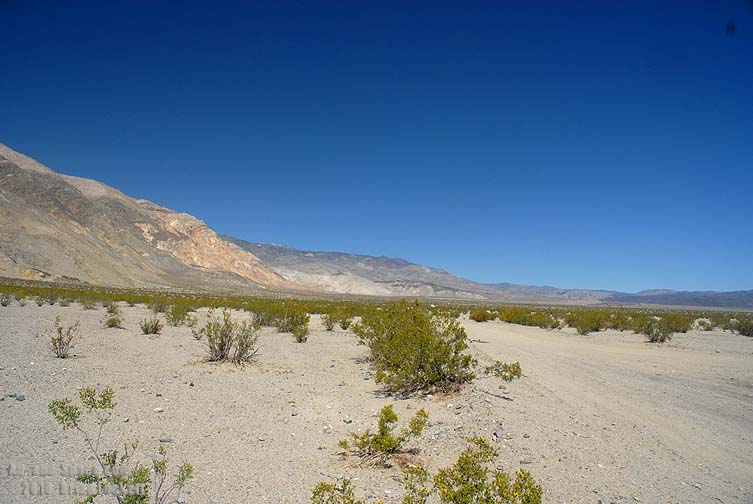
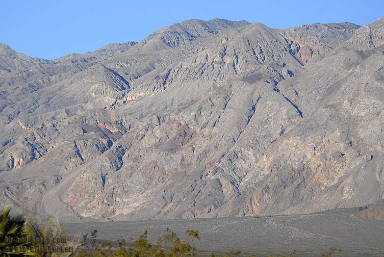 The mountains to the east are nearly devoid of vegetation. The tallest peak in the range, at 8,674 feet tall, is called Dry Mountain.
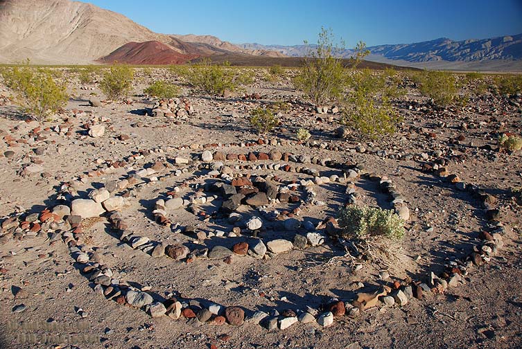
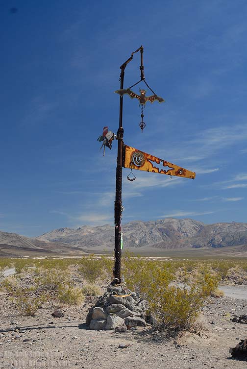
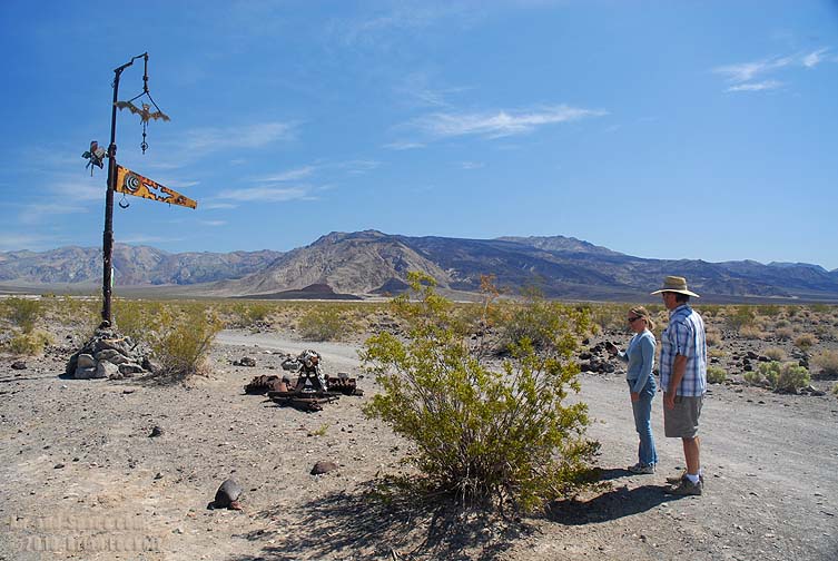
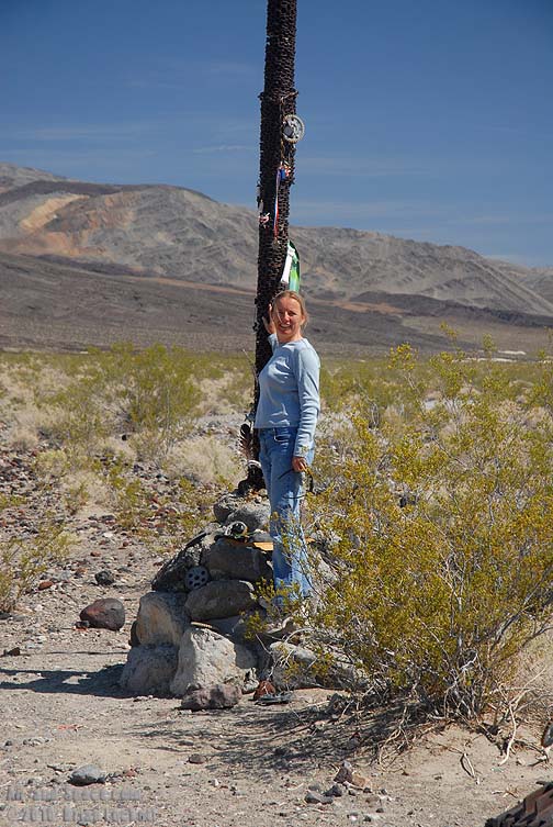
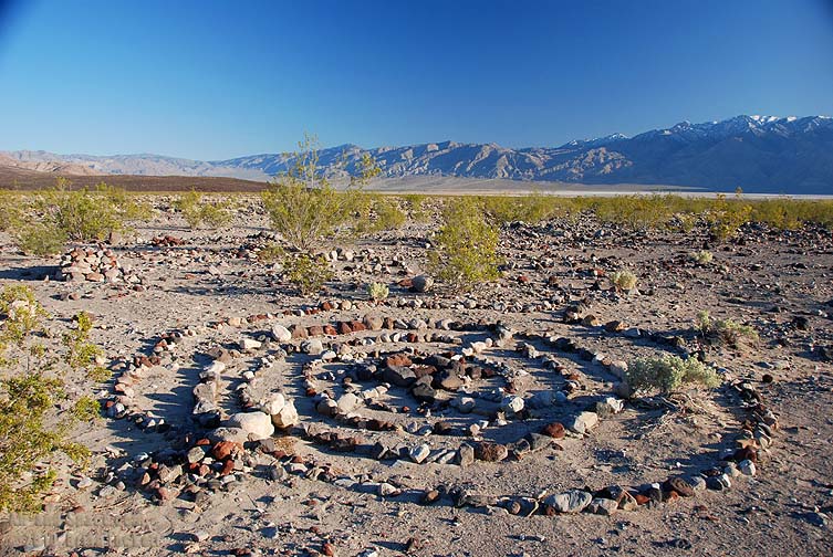 There are a few examples of rock art around the camp.
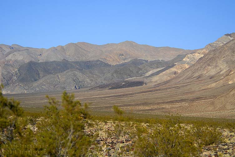
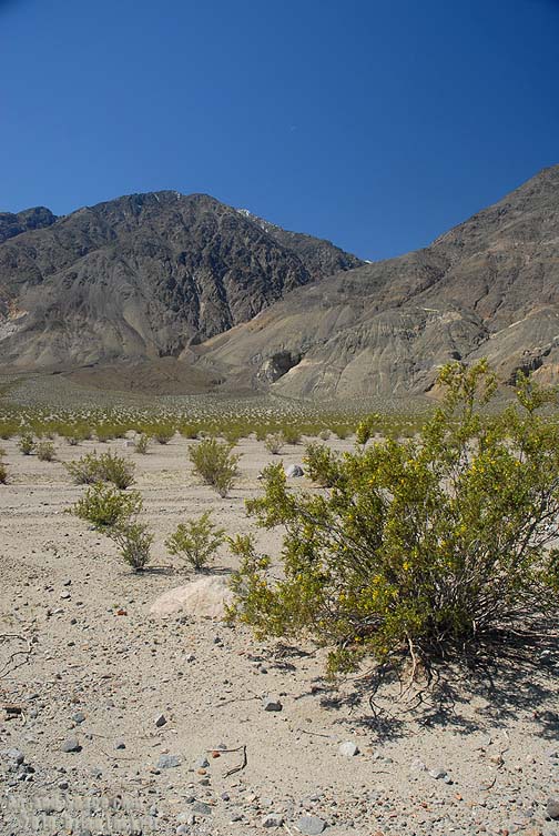
 The Nelson Range can be seen across the valley on a clear afternoon.
 The mountains south of camp are so young that headward erosion has not yet reached the top of the slope.
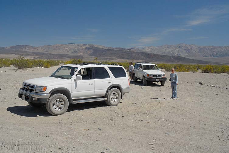
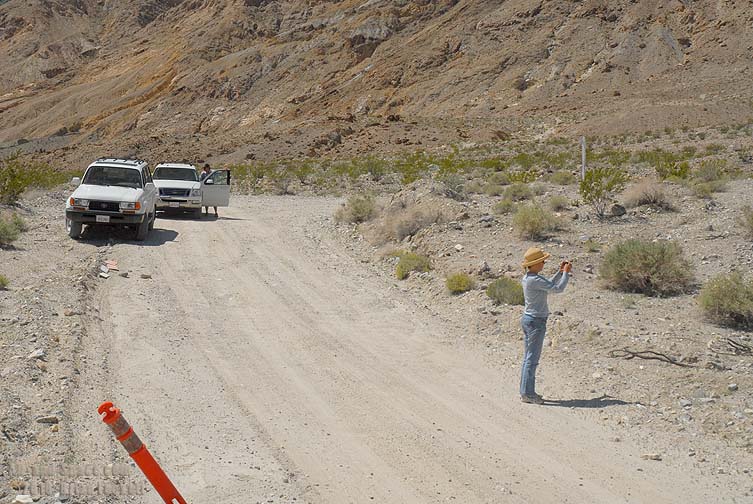
Two days after my arrival, a couple of campers departed for home. We escorted them out of the valley through the North Pass to Big Pine.
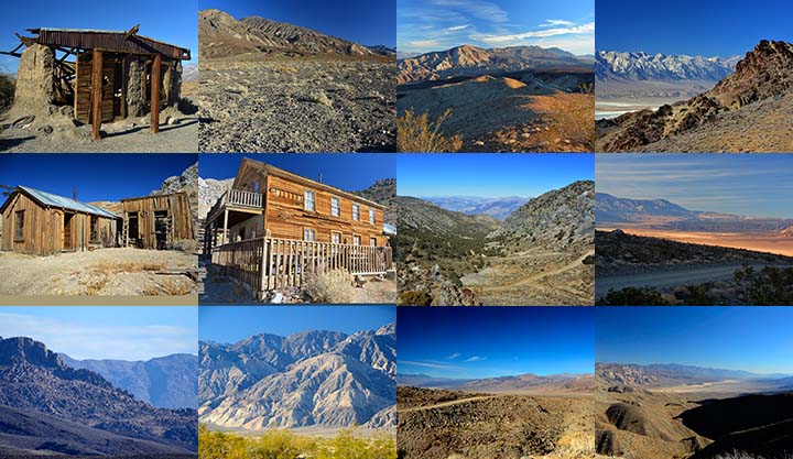
 McElvoy Canyon is home to a pleasant fern grotto fed by springs.
 The junction with Warm Spring Road.
 The Saline Valley Byway leads to Willow Creek and the North Pass.
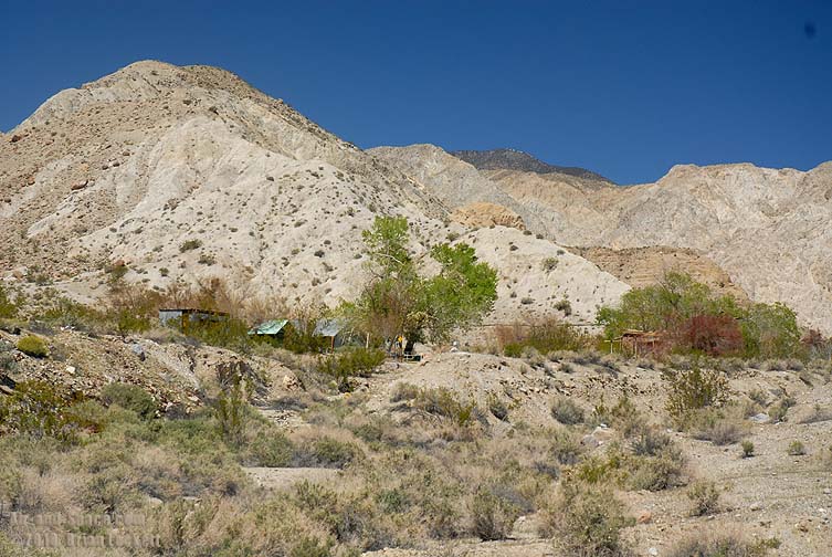
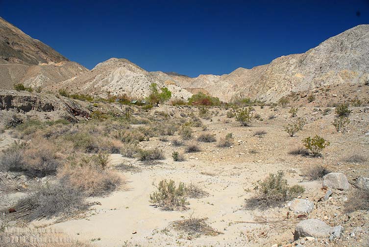 Willow Creek is an old mining facility. It was the home of Turtle Jim and his Burros.
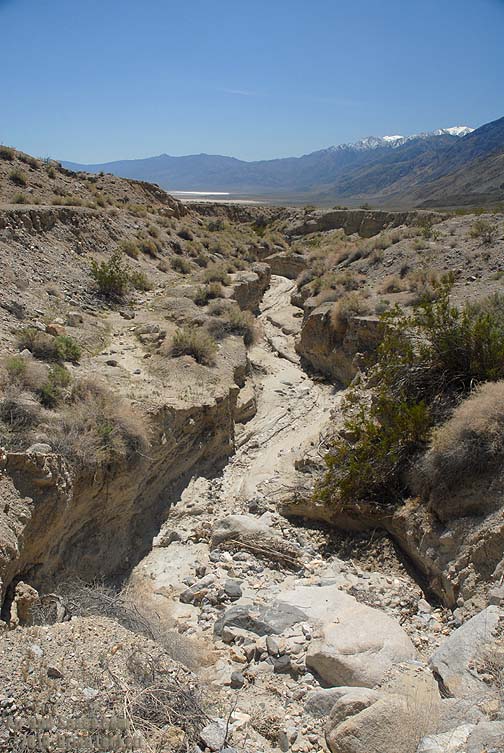 Willow Creek has carved a deep ravine.
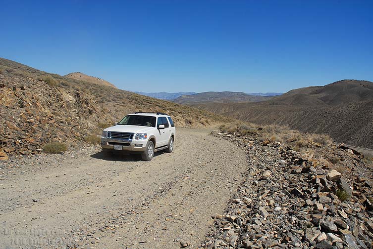
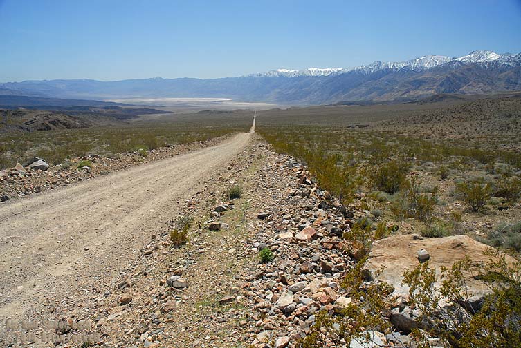 A long, straight grade leads to the North Pass.
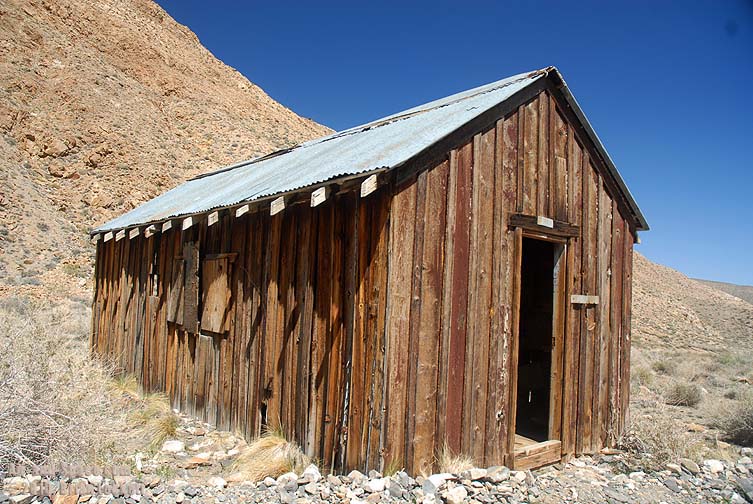
 Marble Canyon was home to several gold mines. The mines tapped placer deposits in the accumulated river sediment. DeLornme Topo USA identifies this part of the canyon as Jackass Canyon. Higher up it is labeled Opal Canyon.
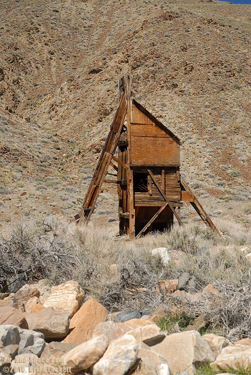
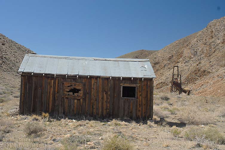 The head frame behind the cabin housed a winch for access to a gold mine shaft.
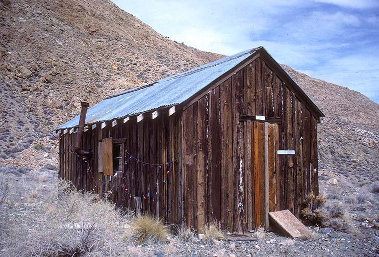
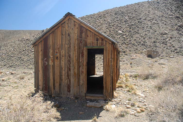 This cabin is at an elevation of about 6,000 feet.
In March 1988, this cabin was decorated with a string of Christmas lights.
 The cabin has an oil drum converted in to a wood burning stove.
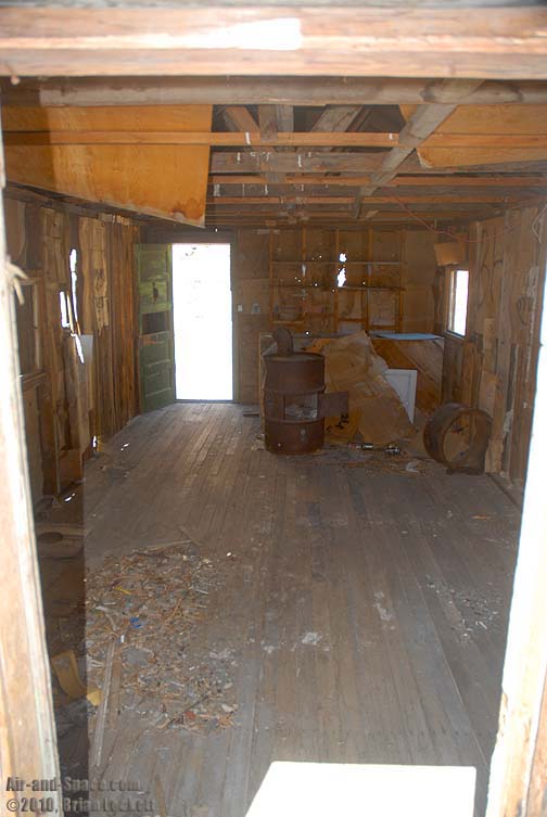
 Head frame
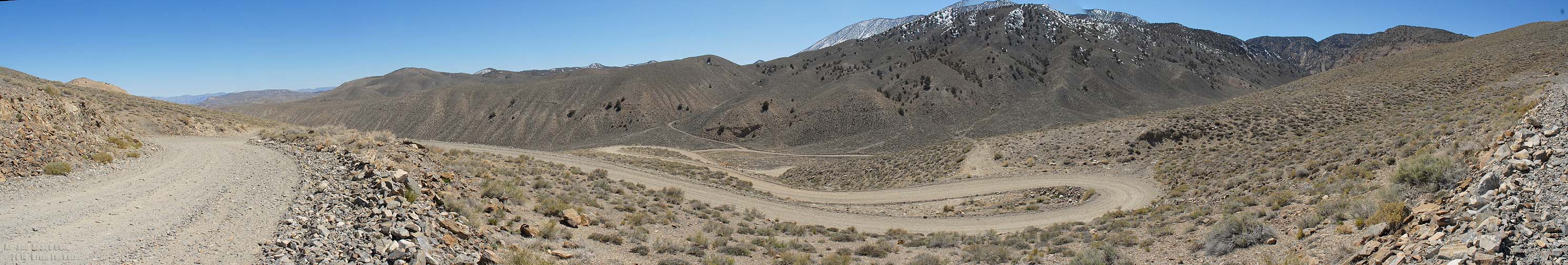 Panoramic view of the Switchbacks lead up from Marble Canyon to the North Pass.
 We had lunch at the Country Kitchen Restaurant in Big Pine. Then we fueled up and got ice for the return trip into the valley.
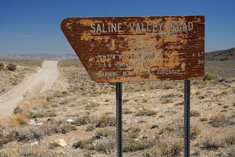 The sign marking the entrance to the Saline Valley Road has seen better days.
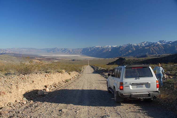 It's a race to see if we can beat the shadow of the Inyo Mountains to camp.
High winds blew through the valley on Thursday night, bringing in dusty air from the Owens Valley that obscured the view of the distant mountains.
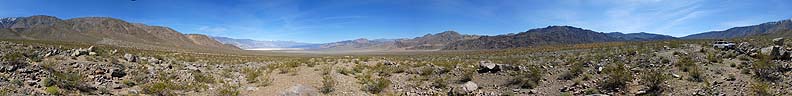
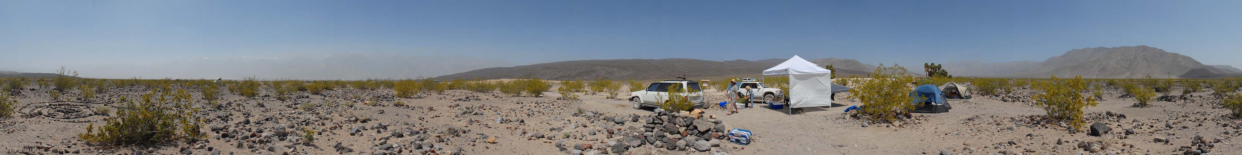 360-degree panorama of Palm Spring Camp.
 The American Automobile Association sent a mapping unit through camp and then on up the Eureka Corridor to Steele Pass.
The wind blew again on Friday night, but it came from a different direction. The wind cleared out a lot of the dusty air, so visibility was a little better as we departed from the valley on Saturday.
 The Panamint Valley was still filled with dusty haze.
 Exiting the South Pass.
 Cruising across Lee Flat.
We stopped for a late lunch at the Ranch House Cafe in Olancha.
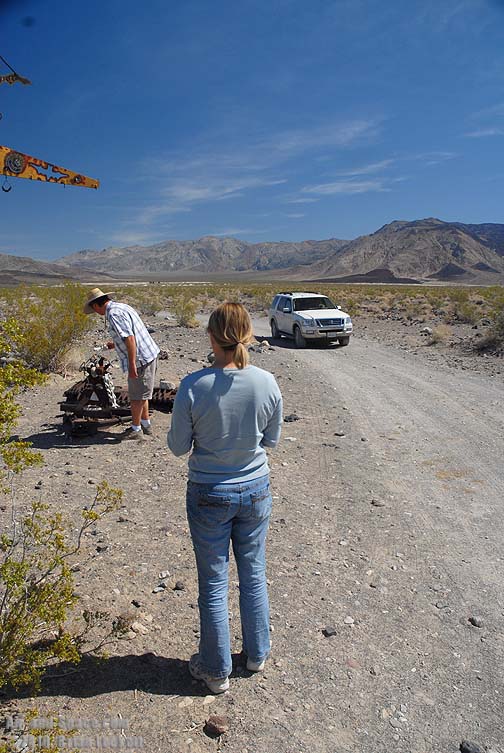
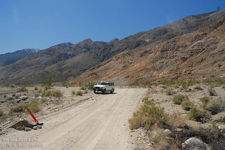
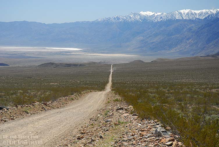
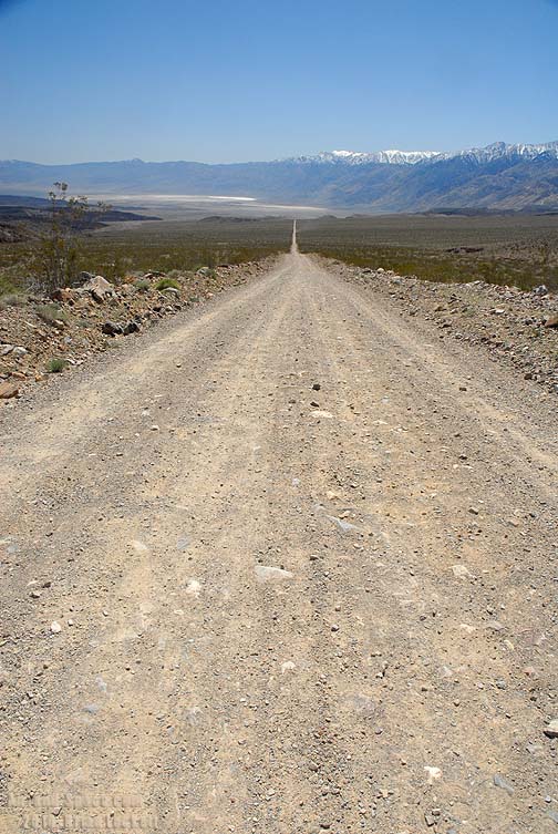
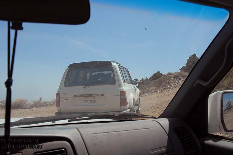
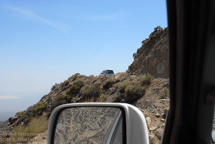
 Page 1: Driving into the valley
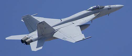 Airplanes in the Wild
 Mojave Desert, California displays.
- advertisement -
You can buy a 2020 Calendar featuring my photographs of Californias High Desert.
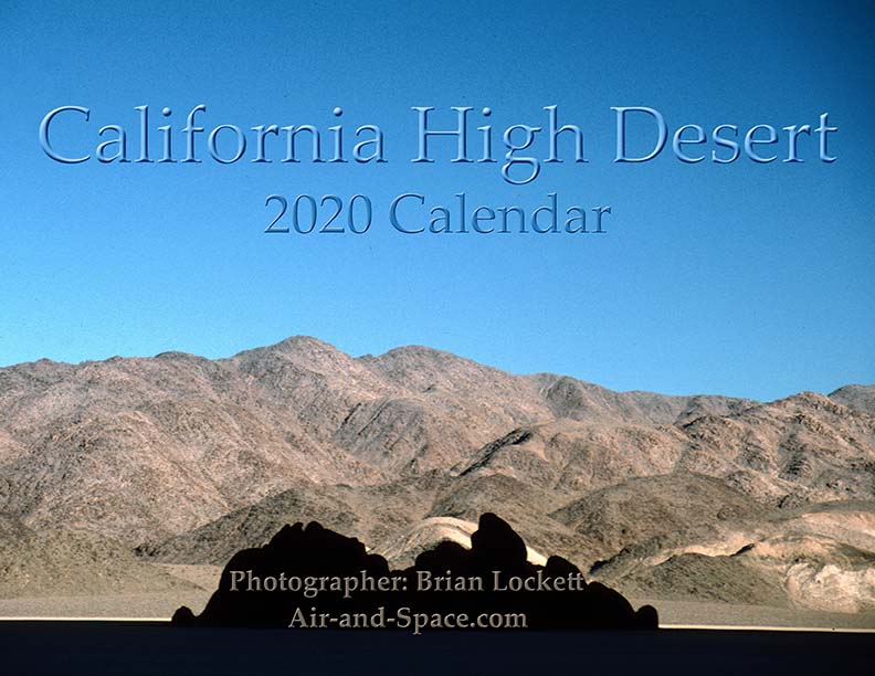
California High Desert locations include Owens Valley, Panamint Valley, Saline Valley and the Inyo Mountains.
 Put a copy of the California High Desert 2020 Calendar in your Lulu.com shopping cart for $14.95.
You can buy a 2020 Calendar featuring my photographs of the Mojave Desert.
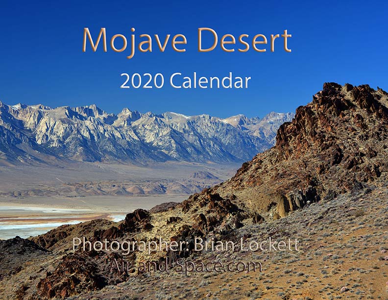
A dozen photos of the Mojave Desert. Locations include the Panamint Valley, the ghost town of Ballarat, the ghost town of Cerro Gordo, the Inyo Mountains, and the Saline Valley.
Put a copy of the Mojave Desert 2020 Calendar in your Lulu.com shopping cart for $14.95.
You can buy a 2020 Calendar featuring my photographs of the Saline and Panamint Valleys.
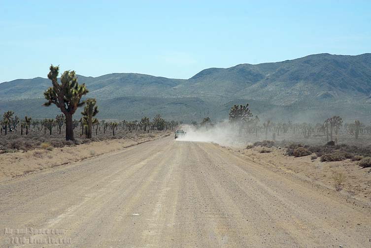
A dozen photos of the Saline and Panamint Valleys. The Saline Valley is a remote and beautiful part of Death Valley National Park. The primitive roads and utter lack of services make it one of the least visited parts of the park. I strongly recommend 4-wheel-drive, high-clearance vehicles to get there. We get a flat tire on nearly every trip. The Saline Valley is bounded on the west by the Inyo Mountains with peaks reaching over 11,000 feet. The bottom of the valley floor is at an elevation two miles below the peaks of the Inyos. The lowest pass out of the valley is almost 4,000 feet higher than the almost dry lakebed.
Put a copy of the Saline and Panamint Valleys 2020 Calendar in your Lulu.com shopping cart for $14.95.
You can buy a 2020 Calendar featuring my photographs of Inyo County Mountains.
A dozen photos of mountainous terrain in Inyo County. Locations include:
Alabama Hills
Papoose Flat Road in the Inyo Mountains,
Hines Road in the Inyo Mountains,
Cerro Gordo in the Inyo Mountains,
Lee Flat, and
Hunter Mountain.
Put a copy of the Inyo County Mountains: 2020 Calendar in your Lulu.com shopping cart for $14.95.
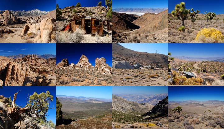
You can buy a 2020 Calendar featuring my photographs of the Basin and Range province in eastern California.
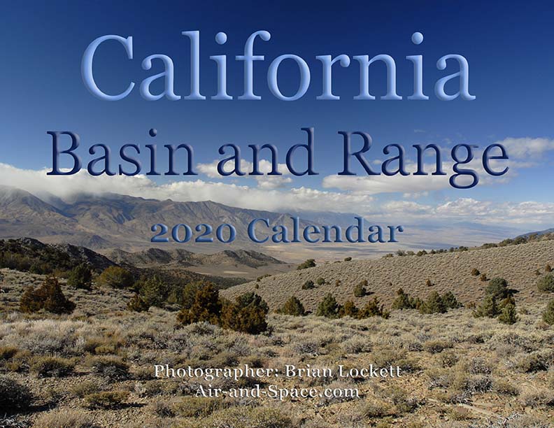
A dozen photos of the Basin and Range province in eastern California. Locations include:
Barber Point in the Inyo Mountains,
Papoose Flat in the Inyo Mountains,
Harkness Flat in the Inyo Mountains,
Panamint Valley,
Ballarat ghost town,
Owens Valley, and
Trona Pinnacles.
Put a copy of the California Basin and Range: 2020 Calendar in your Lulu.com shopping cart for $14.95.
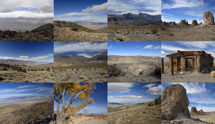
You can buy a 2020 Calendar featuring my very wide angle photographs of eastern California, from the Sierra Nevada to Death Valley. The photos are 9-1/2" x 13-1/2".
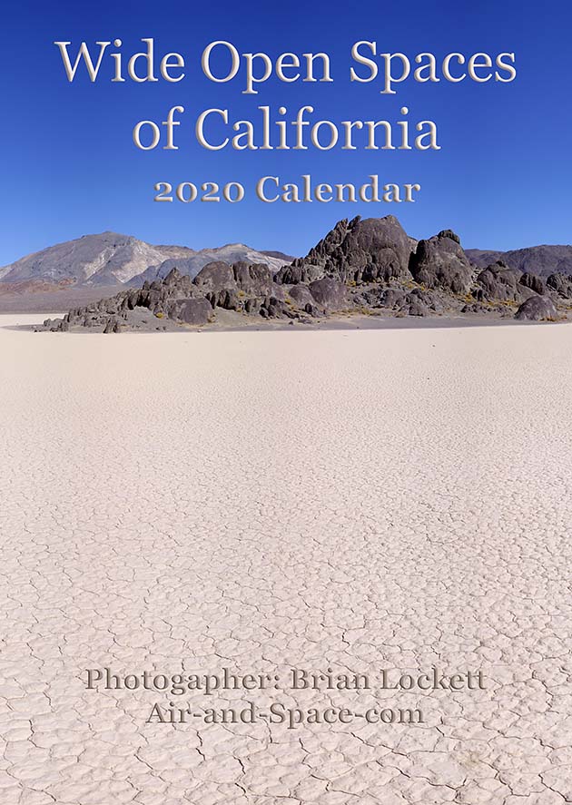
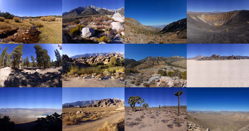
A dozen very wide angle 9-1/2" x 13-1/2" photographs of eastern California, from the Sierra Nevada to Death Valley.
Horseshoe Meadow
Owens Valley
Whitney Portal
Alabama Hills
Cerro Gordo
Holiday Mine, Inyo Mountains
Lee Flat
Ubehebe Crater
Racetrack Playa
Ulida Flat from Hunter Mountain
Put a copy of the Wide Open Spaces of California: 2020 Calendar in your Lulu.com shopping cart for $23.95.
You can buy a 2020 Calendar featuring my Little Planet photographs. The photos are 9-1/2" x 13-1/2".

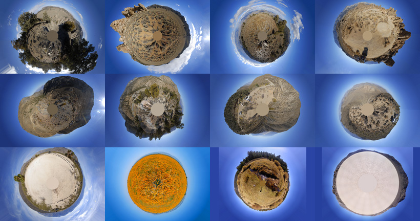
A dozen 9-1/2" x 13-1/2" 360-degree panoramas wrapped in a circle to make little planets. Locations include Antelope Valley, Saline Valley, Hunter Mountain, Racetrack Playa, Horseshoe Meadow, and the Inyo Mountains.
Put a copy of the Little Planets: 2020 Calendar in your Lulu.com shopping cart for $23.95.
- advertisement -
Send a message to Brian.